

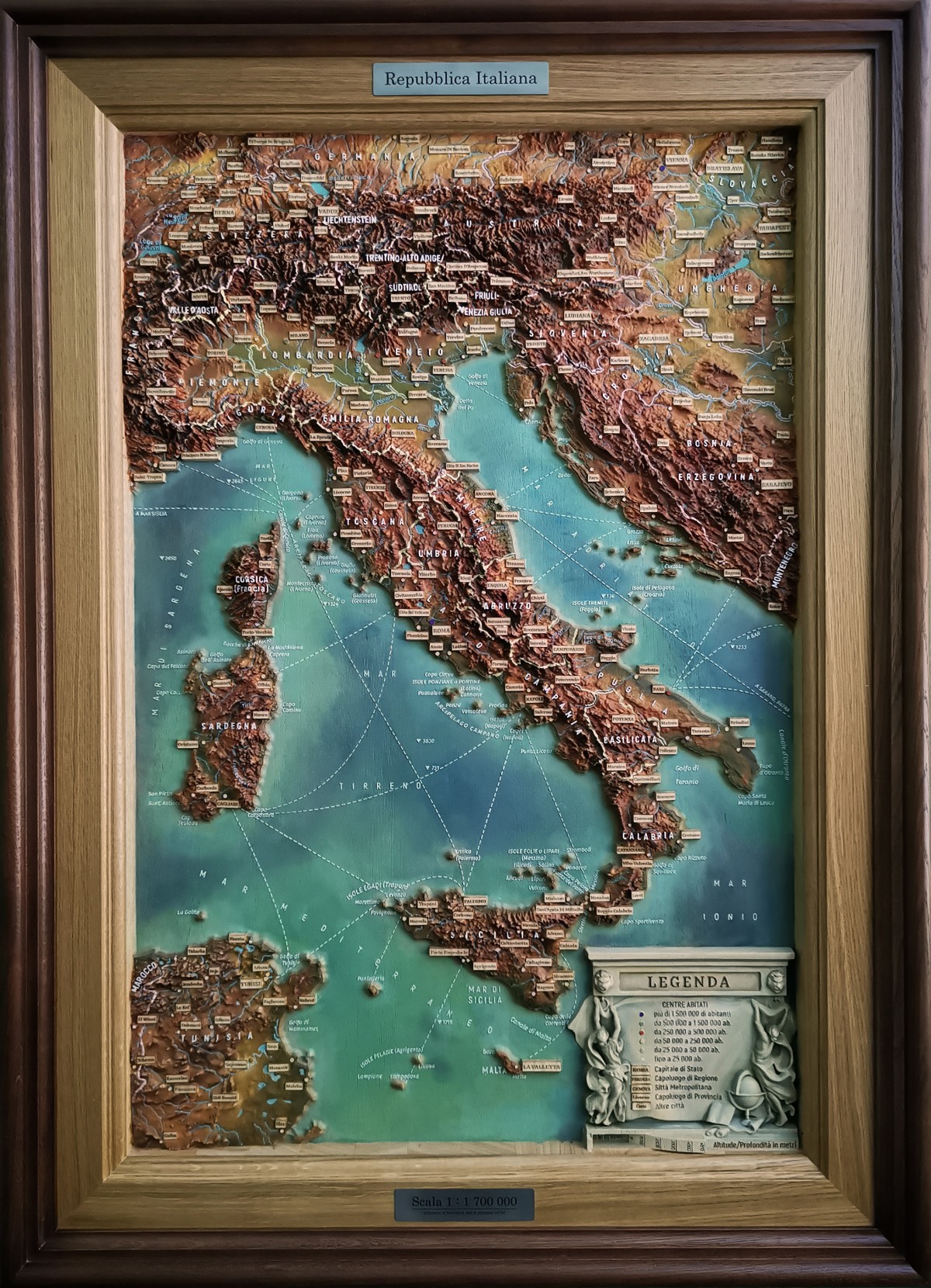
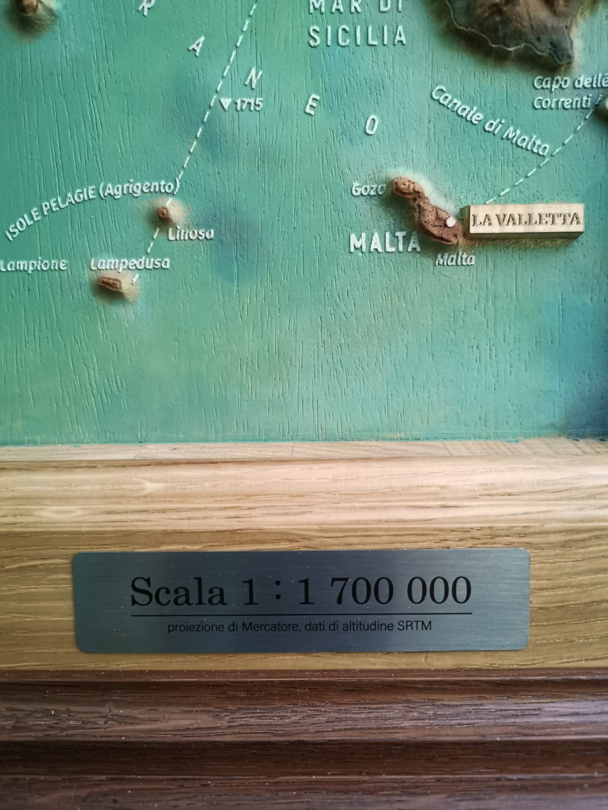
The relief map of Italy is made in the conformal projection of Mercator, at a scale of 1: 1,700,000.
The relief of the land is shown with an exaggeration of the vertical scale 30 times in the plains, and 7 times in the highlands. The use of "floating" changes in the vertical scale allows you to visually show the details of the orography of the continents, accurately convey the forms of relief. For better readability of the relief, a hypsometric coloring was used in the green-brown scale, traditional for cartography.
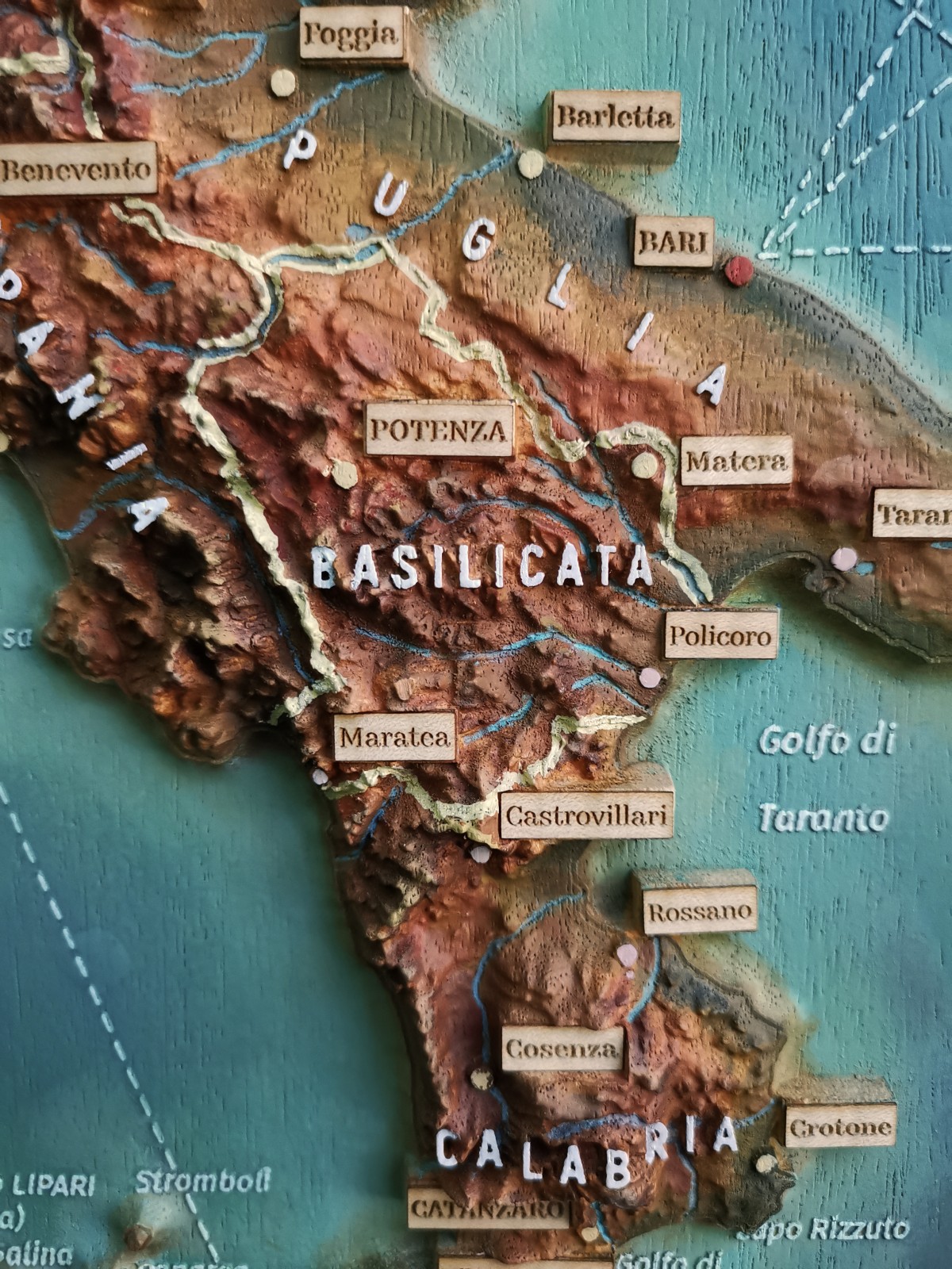
The elements of land hydrography are represented by rivers, lakes and reservoirs. The names of the largest of them are also given, as well as the avatories of watering and seas. The most important sea routes are marked within the water areas.
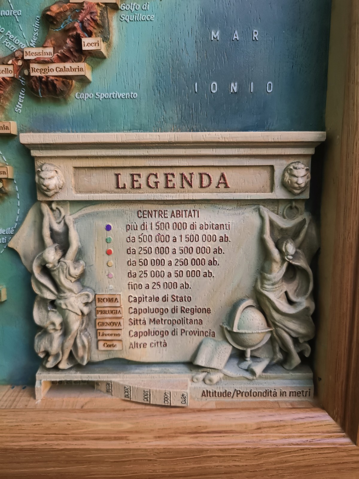
Settlements are represented by the capitals of all states, administrative centers of the first order and the largest - of the second order. Other settlements are also marked, selected according to the number of inhabitants or importance. Signatures are given in upright type in capital letters in dies. The borders of states and regions of Italy are marked with different colors.
The language of the map is Italian.
The map is cut out of solid abachi wood and painted by hand with oil paints. Passepartout and frame are made of oak.