

Russian Empire

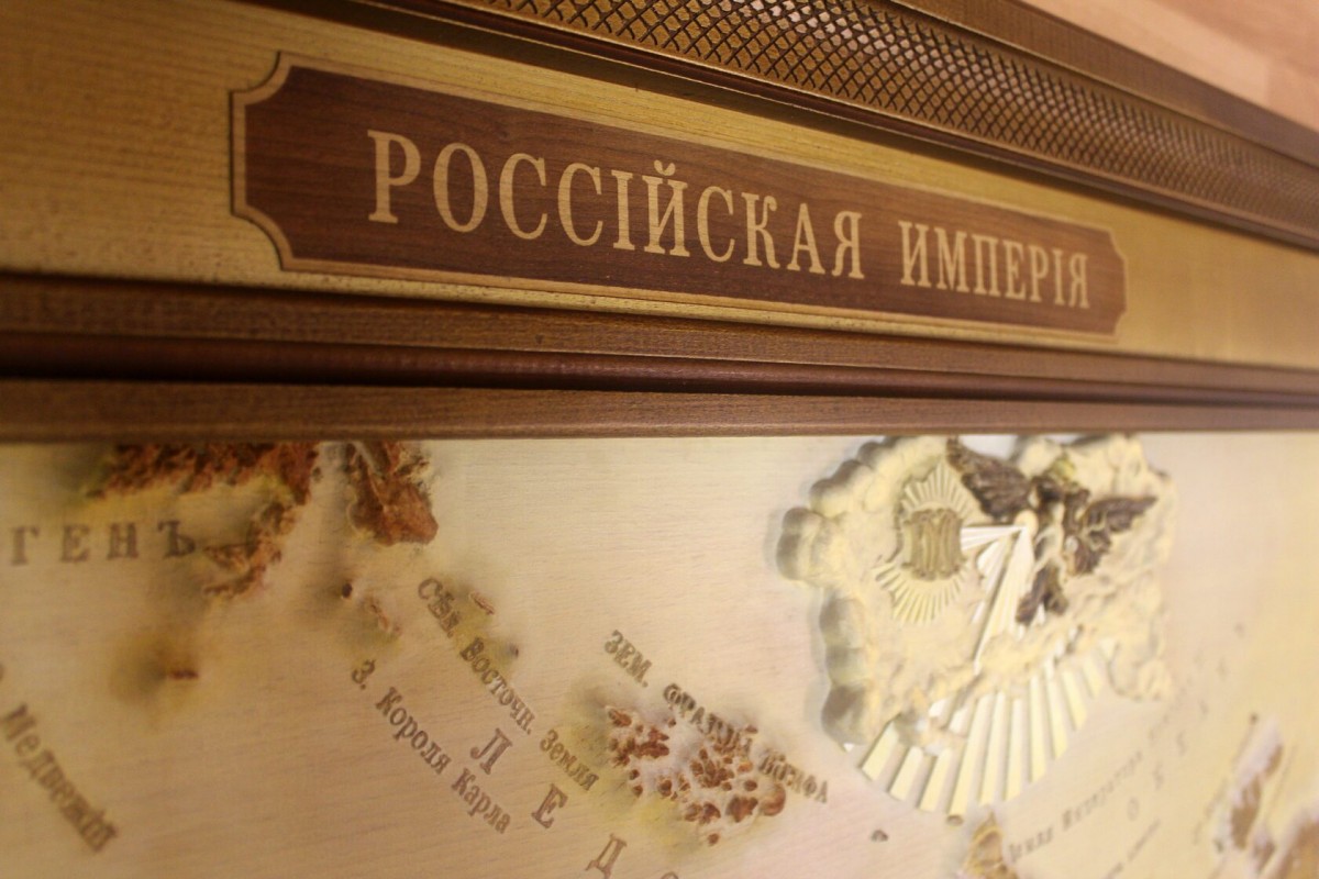
Russian Empire
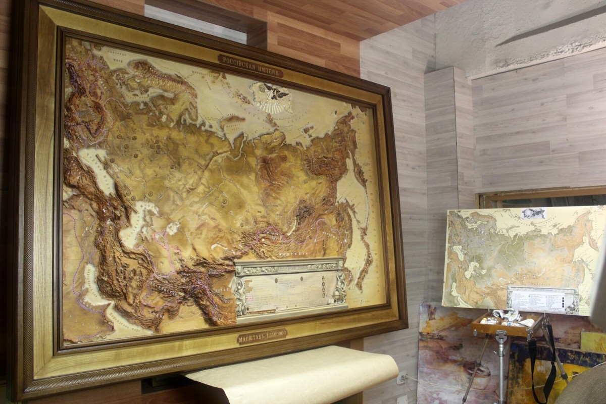
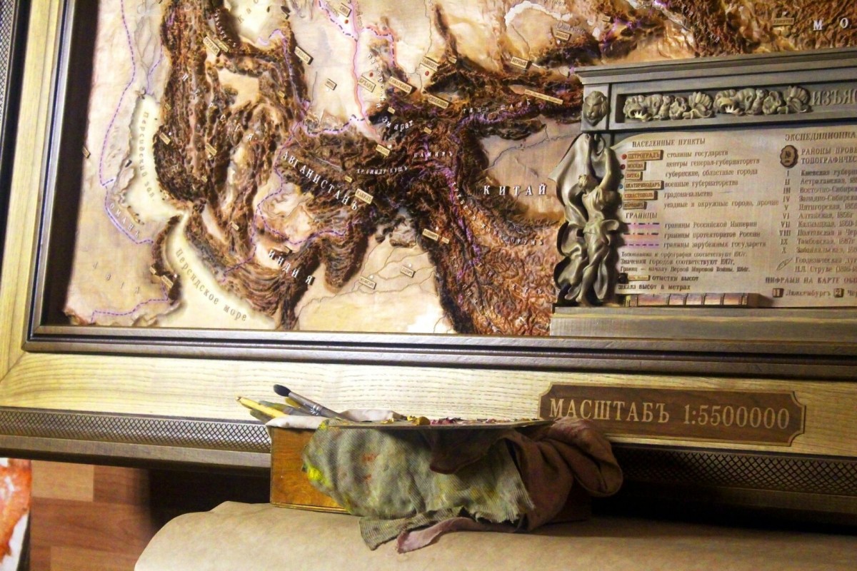
The relief map of the Russian Empire was made in the normal conical equidistant projection of Kavraisky, on a scale of 1: 5,500,000.
Geographical names and meanings of settlements correspond to 1917, given according to the rules of pre-reform spelling. The positions of the borders of states correspond to the beginning of the First World War - 1914. The main historical material for the creation of the map was various cartographic works published in the period from 1914 to 1917.
The surface of the model was built on the basis of altitude data taken from the Endeavor shuttle in 2000.
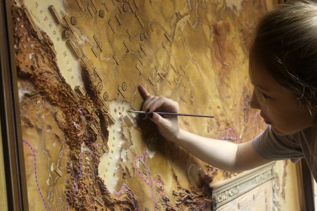
The card is cut out of solid beech, framed by a mat with a classic oak baguette. The card and the frame are hand-painted with oil paints.
5 240 ₽
Купить